
Linzhou, Anyang
Red Flag Canal and Taihang Grand Canyon
- From Zhengzhou
- About 2.5 hours by road from Zhengzhou
- Allow
- One to two days
- Best season
- April–October
From the official website
In the scenic area's own words
Transcribed from the operator's official site, with the date we read it. Independent of the guide above, which is our own writing.
The Red Flag Canal runs through Linzhou in Henan, at the junction of Henan, Shanxi and Hebei. It is a 1,500-kilometre water-transfer project built by the people of Linzhou through the 1960s on the cliff faces of the Taihang mountains, and is known as the 'man-made river from heaven' and 'the Great Wall of China's waters'. Reservoirs and ponds were built along it and its natural fall harnessed for hydroelectricity, making it a combined diversion, storage, lift, drainage, power and scenery system. Work began in February 1960 and the whole project was completed in July 1969.
- Location
- Linzhou, Henan — at the junction of Henan, Shanxi and Hebei
- Construction
- Began February 1960; completed July 1969
- Scale
- 1,250 hilltops levelled; 152 aqueducts; 211 tunnels; 12,408 structures; 15.158 million cubic metres of rock and earth moved
- Length
- Over 1,500 km of main, branch and lateral canals
- Water on
- Main canal opened 5 April 1965; all three branch canals opened 20 April 1966
- Youth Tunnel
- 616 m long, 5 m high, 6.2 m wide; driven by a 300-strong youth brigade from November 1960 over fifteen months
- Heritage status
- Listed as a Major Historical and Cultural Site Protected at the National Level in June 2006; every structure along it is treated as a historic artefact
What to see
Youth Tunnel
The project's choke point, driven through the Langya cliff — the place where its engineering and the landscape meet most sharply.
Red Flag Canal Memorial Hall
A garden memorial at the point where the main canal divides into three; a 316-metre route displays over 210 historical photographs and the tools used to build it.
The dividing sluice
The end of the main canal, where it splits into three; the memorial hall stands on this hub.
Taoyuan bridge-aqueduct
A three-way structure on the first branch canal: road on top, water through the middle, floodwater beneath.
Shuguang Tunnel
The 4,000-metre tunnel carrying the third branch canal through Luzhai ridge — the longest on the project.
Photographs
These photographs are openly licensed for commercial use (from Wikimedia Commons: CC0, CC BY, CC BY-SA or public domain) and are not the attraction's own gallery. Each photo is credited below with its author and licence, linked to the original file.
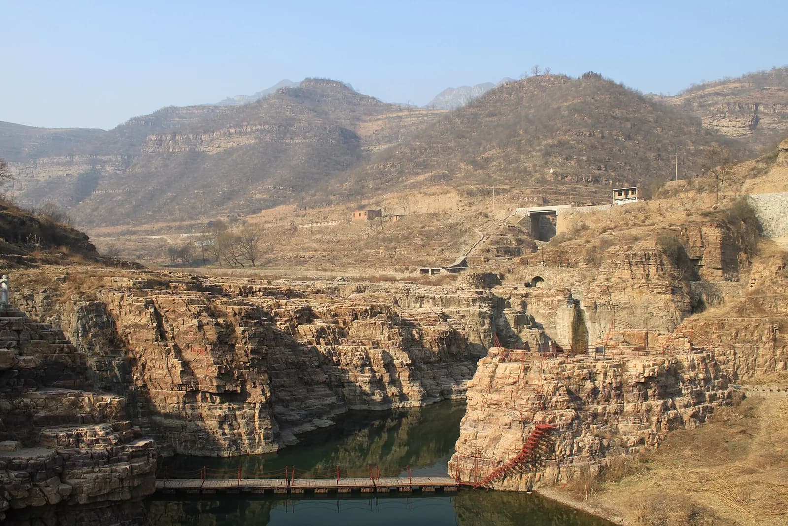
The canal winding along the Taihang slopes
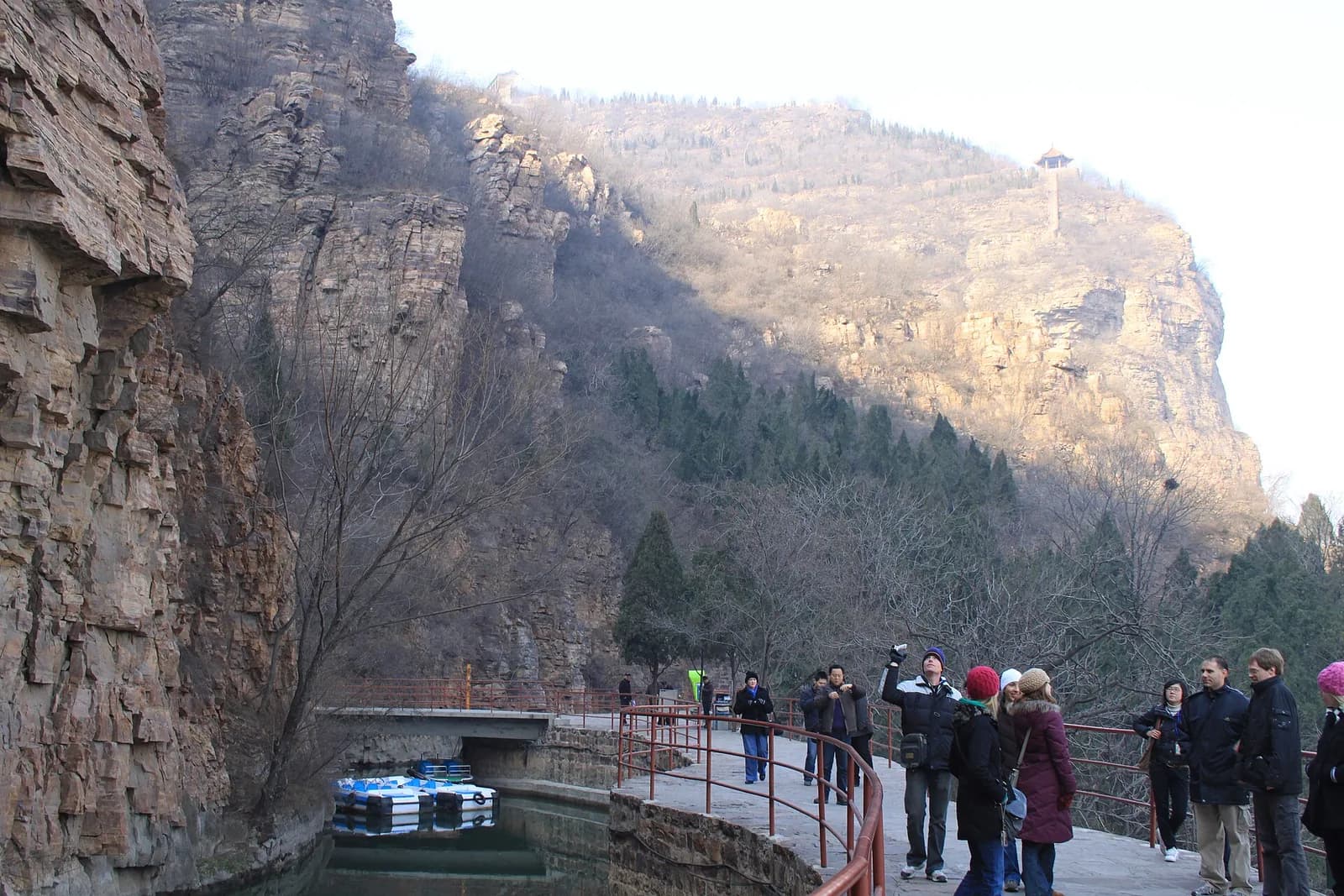
The canal running beneath the cliffs
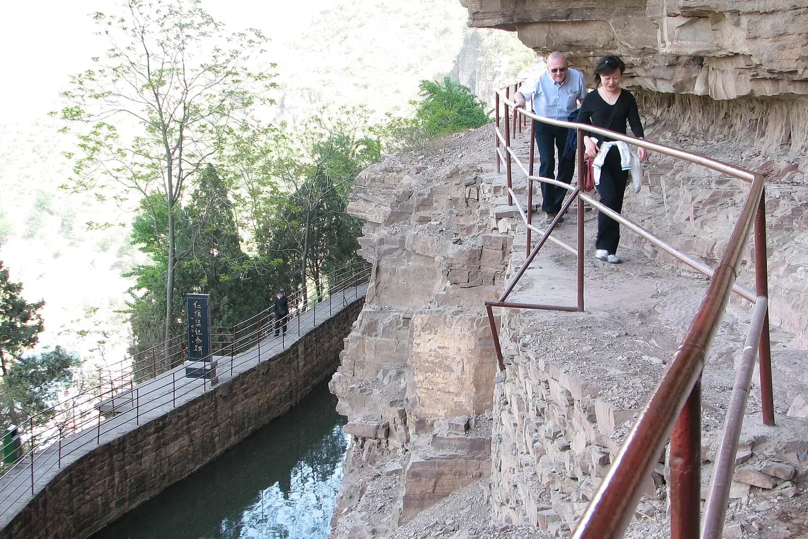
The Tiger's Mouth Cliff section
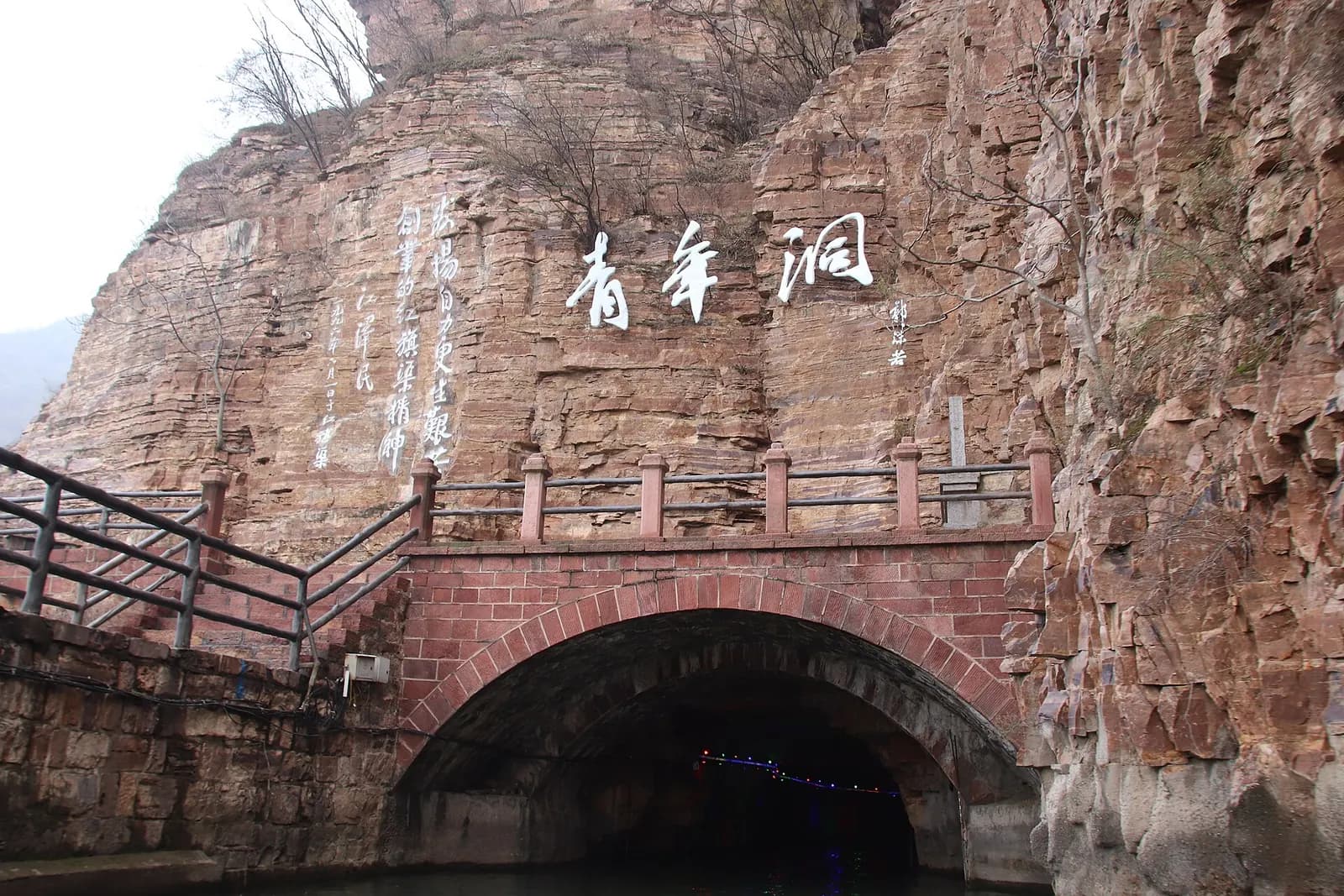
The Youth Tunnel
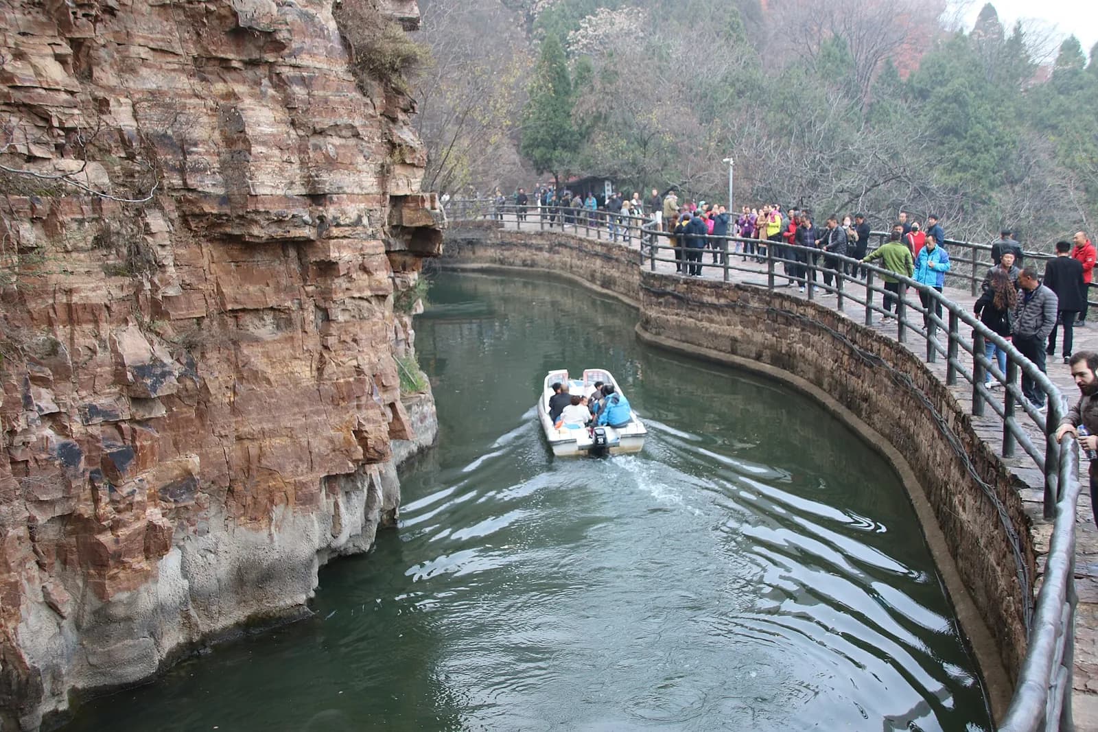
A boat on the canal
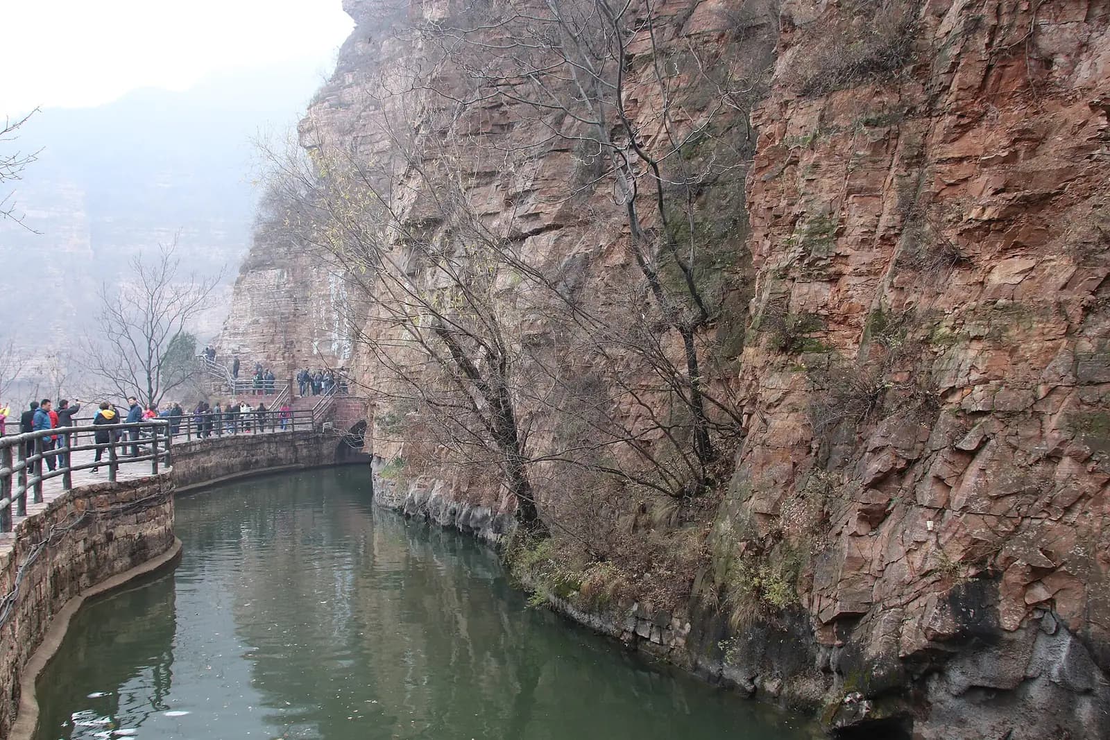
The channel hugging the rock face
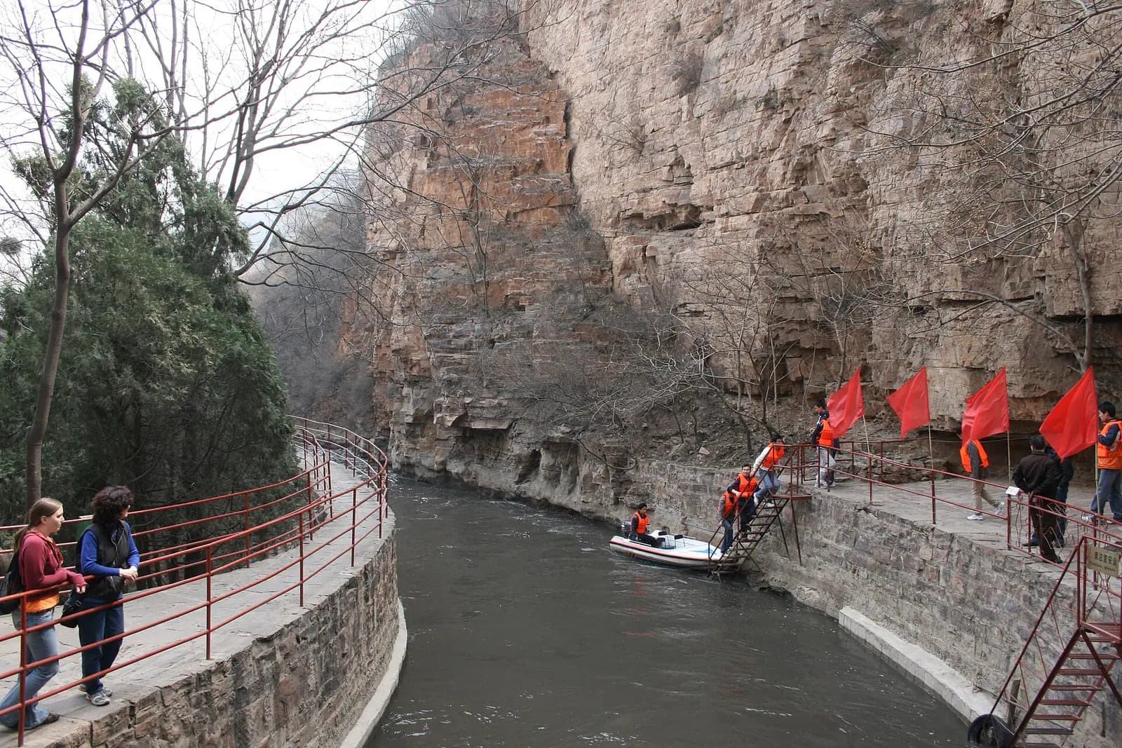
Visitors on the canal-side path
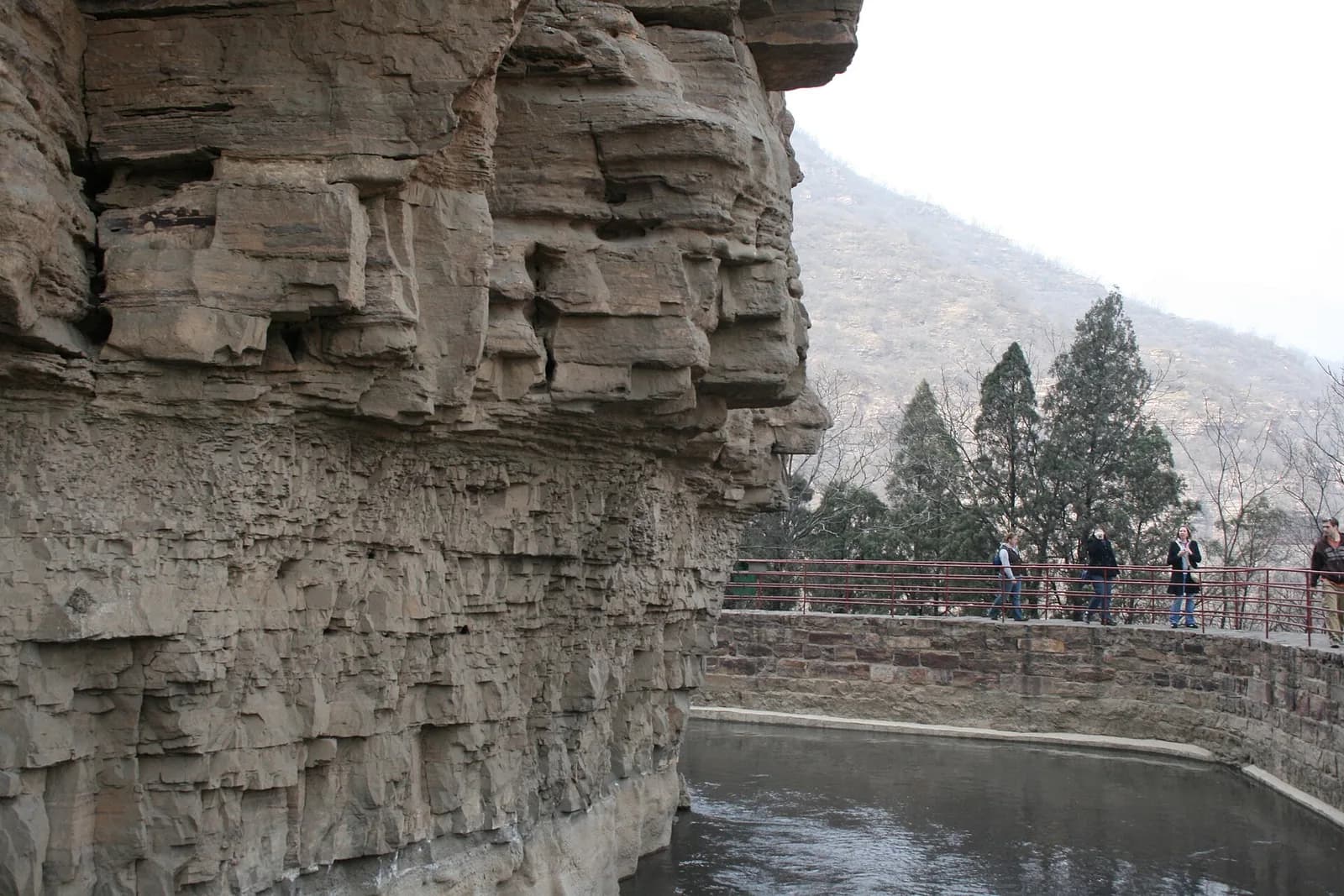
The canal beside layered cliffs
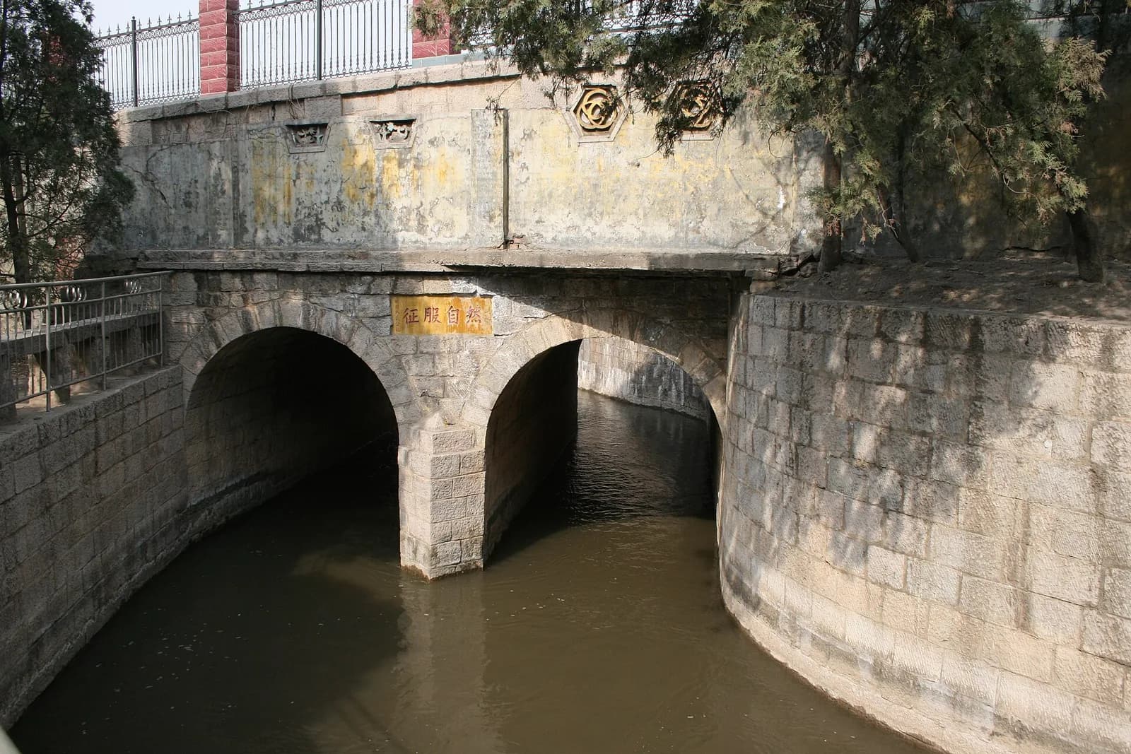
A sluice gate on the canal
The Red Flag Canal was cut into the flank of the Taihang mountains in the 1960s by the people of Linxian, to divert the Zhang river into the county. Its 1,500 km of channel earned it the name "man-made river in the sky". The canal head, Youth Tunnel and memorial hall tell the story; the Taihang Grand Canyon, part of the same 5A area, is cliff and gorge country.
What to see
- Youth Tunnel: the most difficult 616 m of the main canal, driven through by 300 young workers over 17 months.
- The Red Flag Canal Memorial Hall, which sets out the project and the builders' own accounts — visit it before walking the canal.
- Taihang Grand Canyon: Taohua Valley, Wangxiang Rock and the Taihang Sky Road, with large cliff relief and wide viewing platforms.
- The Taihang Sky Road, a ridge-top scenic drive suited to visitors who want the gorge panorama without the climbing.
Practical notes
The canal and the canyon are about an hour apart by road; two days makes far more sense than one. The Youth Tunnel section is walked and passes through the tunnel itself, which is cool and wet underfoot. The Sky Road is a mountain road — take motion-sickness precautions if you need them.