
หลินโจว อันหยาง
คลองธงแดงและหุบเขาหย่าต้าหังไท่หัง
- จากเจิ้งโจว
- จากเจิ้งโจวประมาณ 2.5 ชั่วโมงโดยรถยนต์
- เวลาที่ควรเผื่อ
- หนึ่งถึงสองวัน
- ฤดูที่เหมาะ
- เมษายน–ตุลาคม
จากเว็บไซต์ทางการ
สถานที่แนะนำตัวเองผ่านเว็บไซต์ทางการ
ถอดความจากเว็บไซต์ทางการของผู้ดำเนินการ พร้อมวันที่เราเข้าดู และเป็นอิสระจากคำบรรยายของเราเองด้านบน
The Red Flag Canal runs through Linzhou in Henan, at the junction of Henan, Shanxi and Hebei. It is a 1,500-kilometre water-transfer project built by the people of Linzhou through the 1960s on the cliff faces of the Taihang mountains, and is known as the 'man-made river from heaven' and 'the Great Wall of China's waters'. Reservoirs and ponds were built along it and its natural fall harnessed for hydroelectricity, making it a combined diversion, storage, lift, drainage, power and scenery system. Work began in February 1960 and the whole project was completed in July 1969.
- Location
- Linzhou, Henan — at the junction of Henan, Shanxi and Hebei
- Construction
- Began February 1960; completed July 1969
- Scale
- 1,250 hilltops levelled; 152 aqueducts; 211 tunnels; 12,408 structures; 15.158 million cubic metres of rock and earth moved
- Length
- Over 1,500 km of main, branch and lateral canals
- Water on
- Main canal opened 5 April 1965; all three branch canals opened 20 April 1966
- Youth Tunnel
- 616 m long, 5 m high, 6.2 m wide; driven by a 300-strong youth brigade from November 1960 over fifteen months
- Heritage status
- Listed as a Major Historical and Cultural Site Protected at the National Level in June 2006; every structure along it is treated as a historic artefact
จุดชมหลัก
Youth Tunnel
The project's choke point, driven through the Langya cliff — the place where its engineering and the landscape meet most sharply.
Red Flag Canal Memorial Hall
A garden memorial at the point where the main canal divides into three; a 316-metre route displays over 210 historical photographs and the tools used to build it.
The dividing sluice
The end of the main canal, where it splits into three; the memorial hall stands on this hub.
Taoyuan bridge-aqueduct
A three-way structure on the first branch canal: road on top, water through the middle, floodwater beneath.
Shuguang Tunnel
The 4,000-metre tunnel carrying the third branch canal through Luzhai ridge — the longest on the project.
ภาพสถานที่
These photographs are openly licensed for commercial use (from Wikimedia Commons: CC0, CC BY, CC BY-SA or public domain) and are not the attraction's own gallery. Each photo is credited below with its author and licence, linked to the original file.
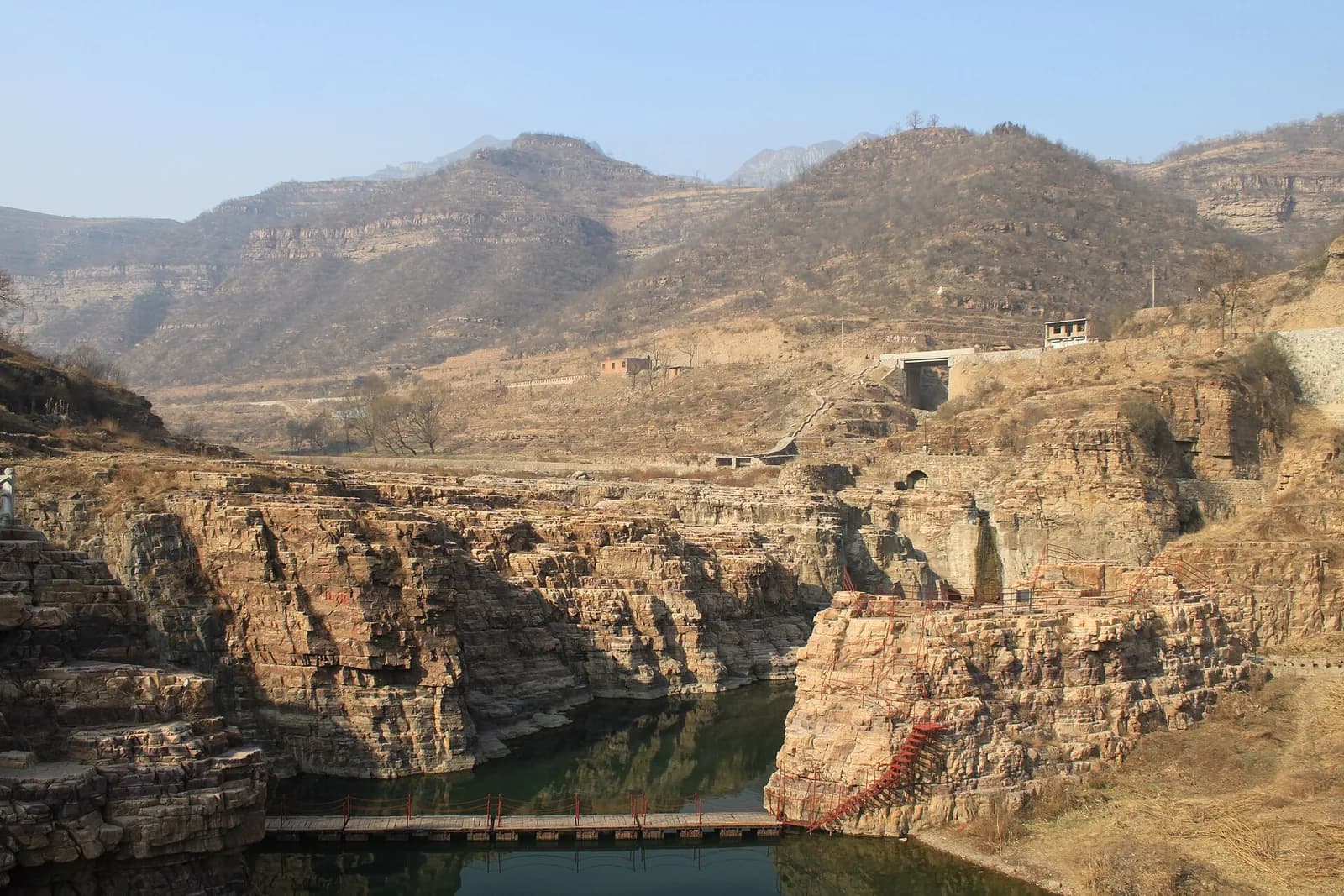
The canal winding along the Taihang slopes
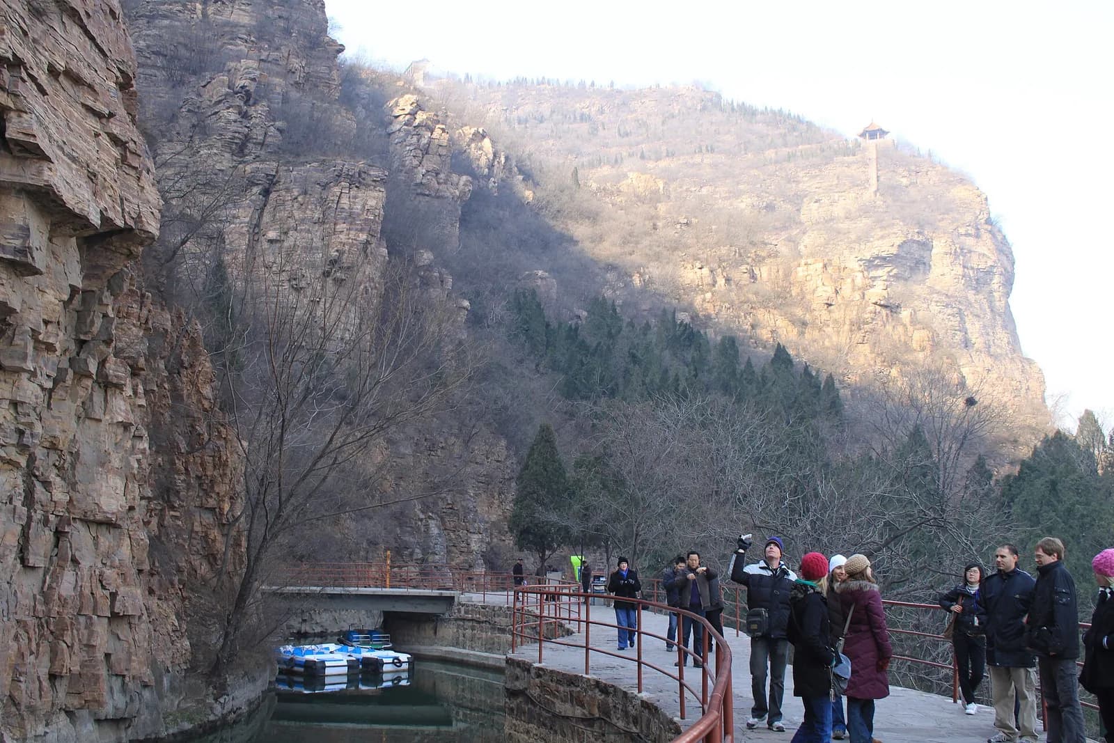
The canal running beneath the cliffs
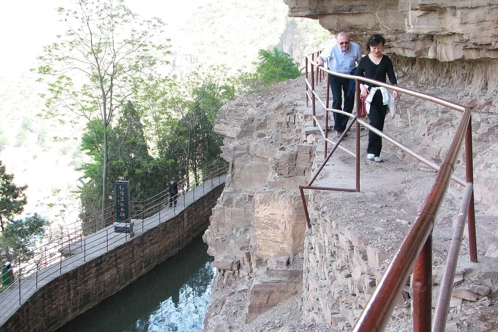
The Tiger's Mouth Cliff section
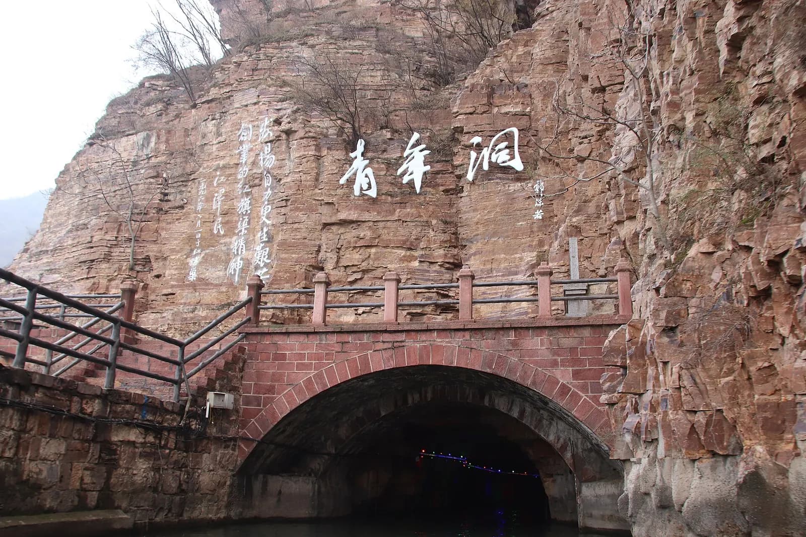
The Youth Tunnel
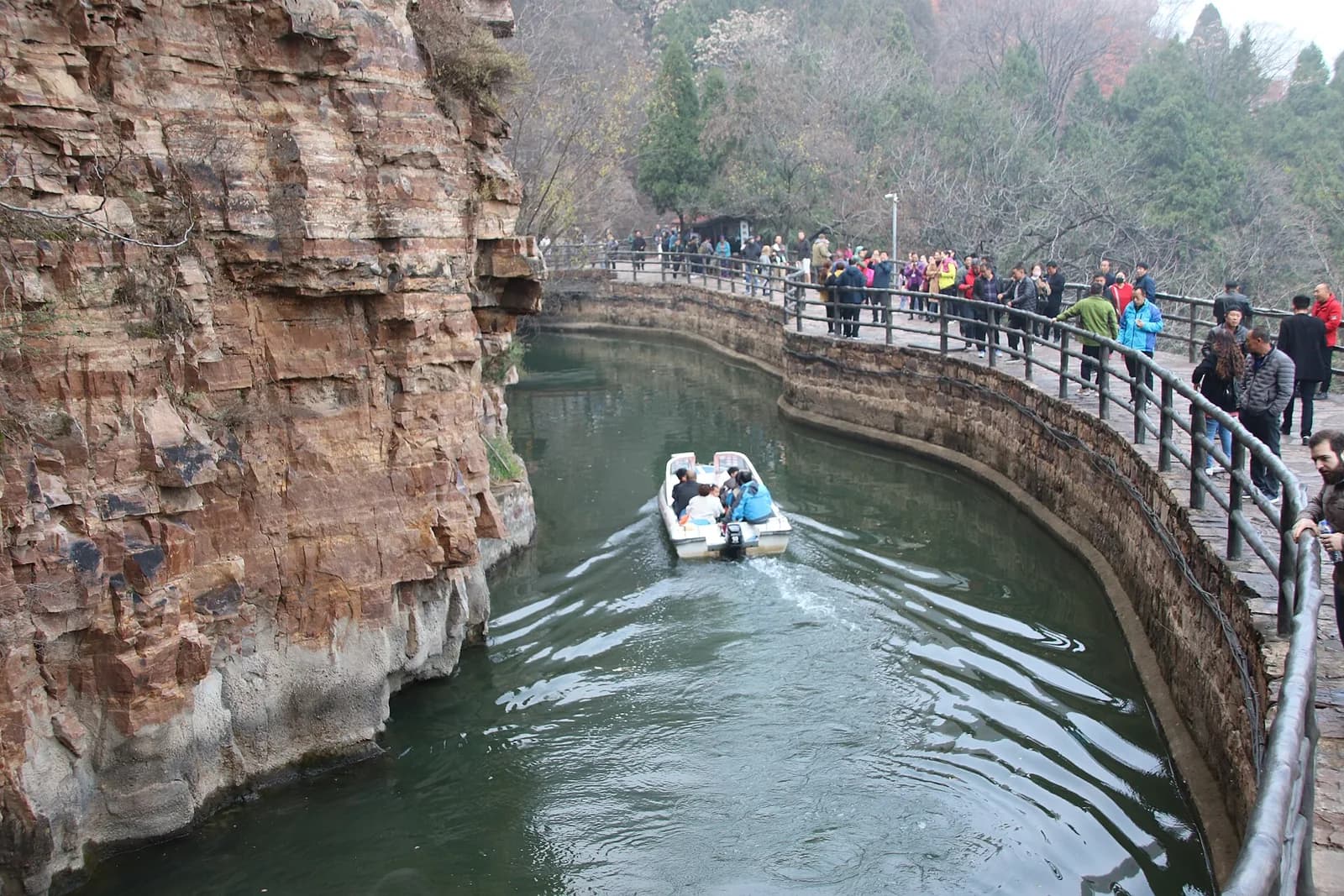
A boat on the canal
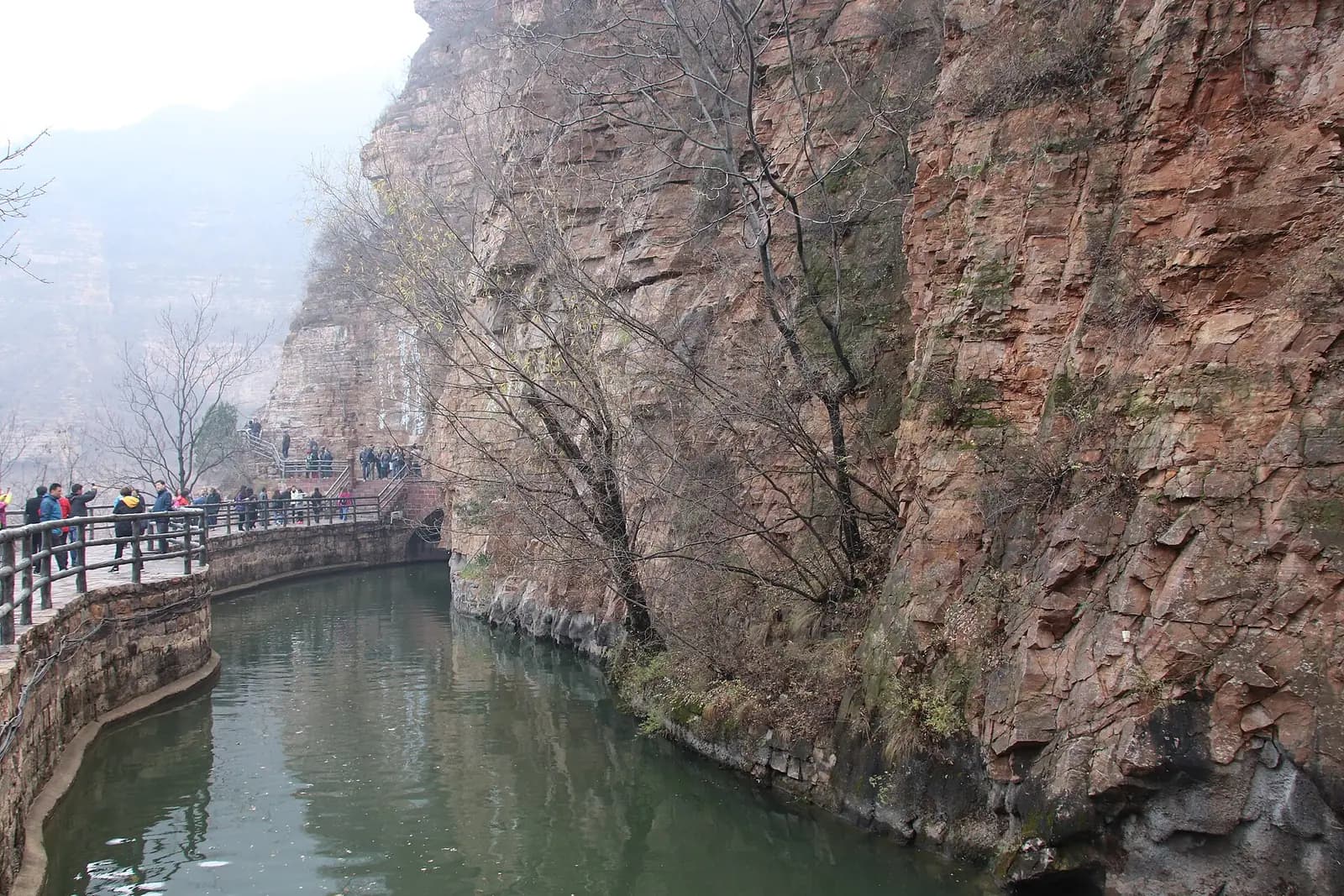
The channel hugging the rock face
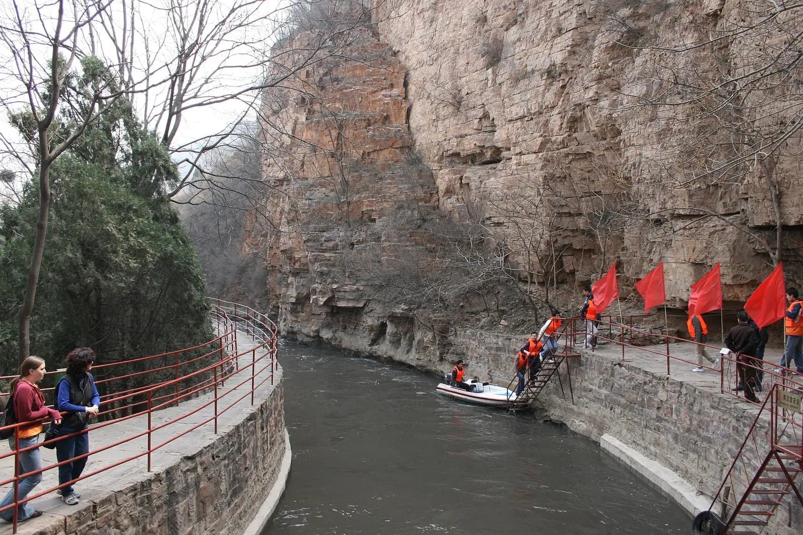
Visitors on the canal-side path
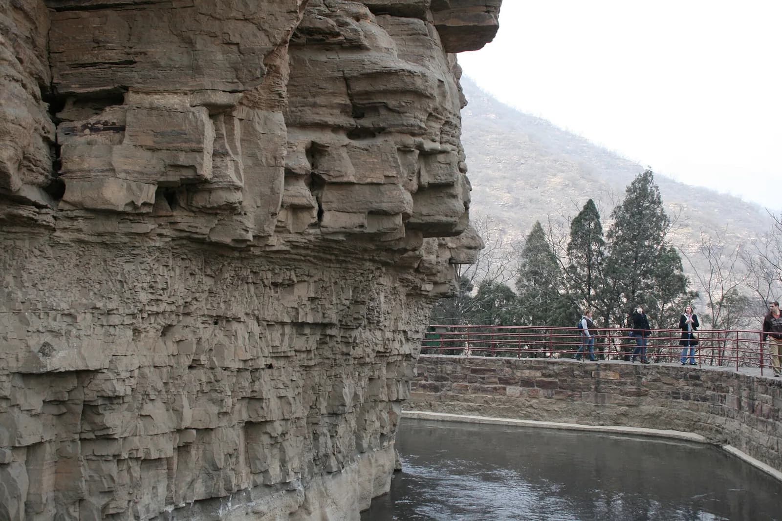
The canal beside layered cliffs
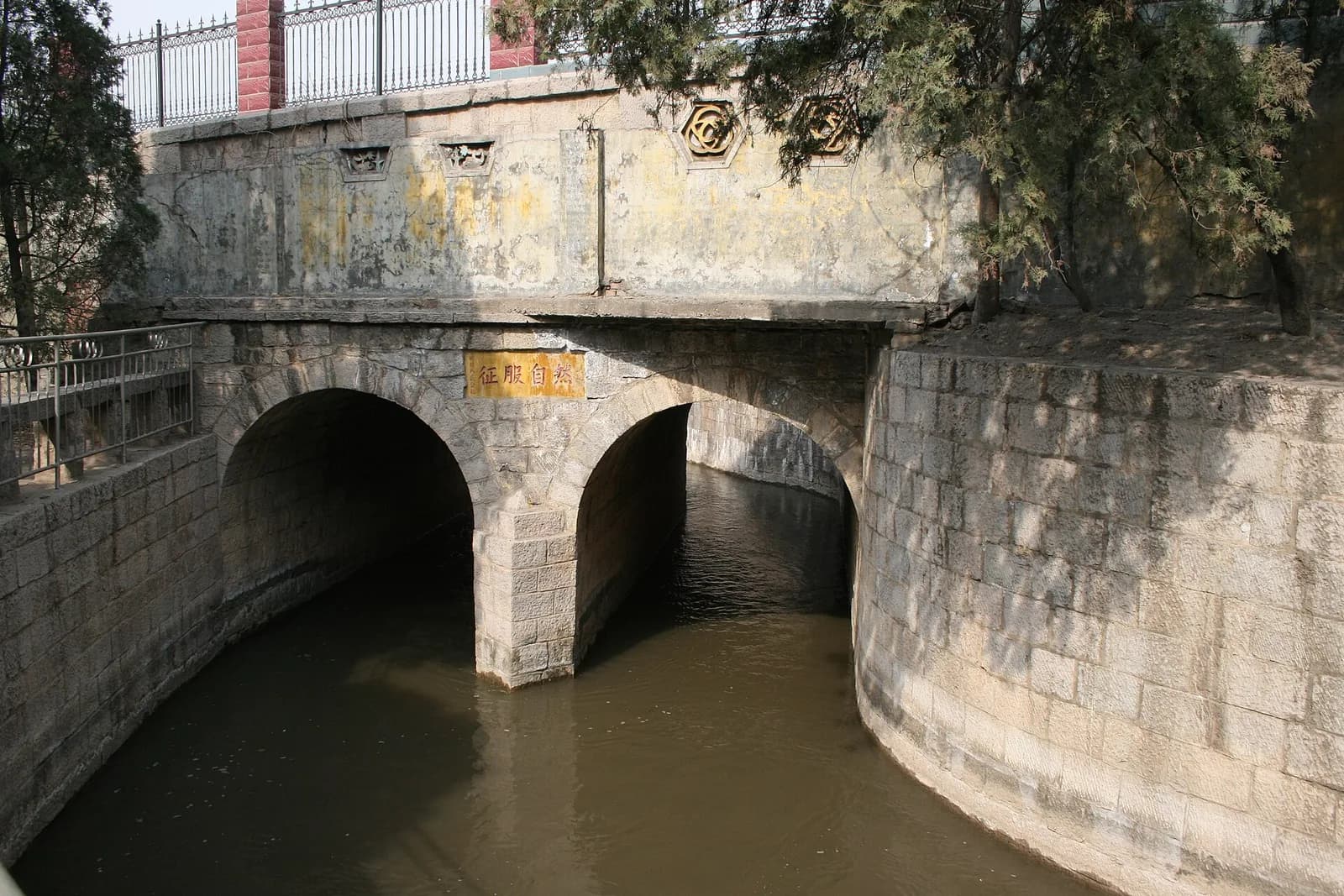
A sluice gate on the canal
แหล่งข้อมูล
คลองธงแดงถูกเจาะเข้าไปในไหล่เขาไท่หังในช่วงทศวรรษ 1960 โดยชาวอำเภอหลินเซียน เพื่อผันน้ำจากแม่น้ำจางเข้าสู่อำเภอ ระยะทาง 1,500 กิโลเมตรทำให้ได้ชื่อว่า "แม่น้ำบนฟ้าที่มนุษย์สร้าง" ส่วนต้นคลอง อุโมงค์เยาวชน และหออนุสรณ์เล่าเรื่องราวทั้งหมด ขณะที่หุบเขาหย่าต้าหังไท่หังซึ่งอยู่ในเขต 5A เดียวกัน โดดเด่นด้วยหน้าผาและหุบเขา
จุดน่าสนใจ
- อุโมงค์เยาวชน: ช่วง 616 เมตรที่ยากที่สุดของคลองสายหลัก เจาะโดยเยาวชน 300 คนใน 17 เดือน
- หออนุสรณ์คลองธงแดง ซึ่งแสดงโครงการและคำบอกเล่าของผู้ก่อสร้าง ควรเข้าชมก่อนเดินชมคลอง
- หุบเขาหย่าต้าหังไท่หัง: หุบเขาทอฮวา ผาหวังเซียง และทางหลวงสวรรค์ไท่หัง มีหน้าผาต่างระดับมากและจุดชมวิว宽广
- ทางหลวงสวรรค์ไท่หัง ทางรถชมวิวบนสันเขา เหมาะกับผู้ที่ต้องการเห็นหุบเขาทั้งหมดโดยไม่ต้องปีน
ข้อควรรู้
คลองกับหุบเขาห่างกันราวหนึ่งชั่วโมงโดยรถ สองวันสมเหตุสมผลกว่าหนึ่งวันมาก ช่วงอุโมงค์เยาวชนต้องเดินและลอดผ่านตัวอุโมงค์ซึ่งเย็นและพื้นลื่น ทางหลวงสวรรค์เป็นถนนบนภูเขา ผู้ที่เมารถควรเตรียมตัวล่วงหน้า